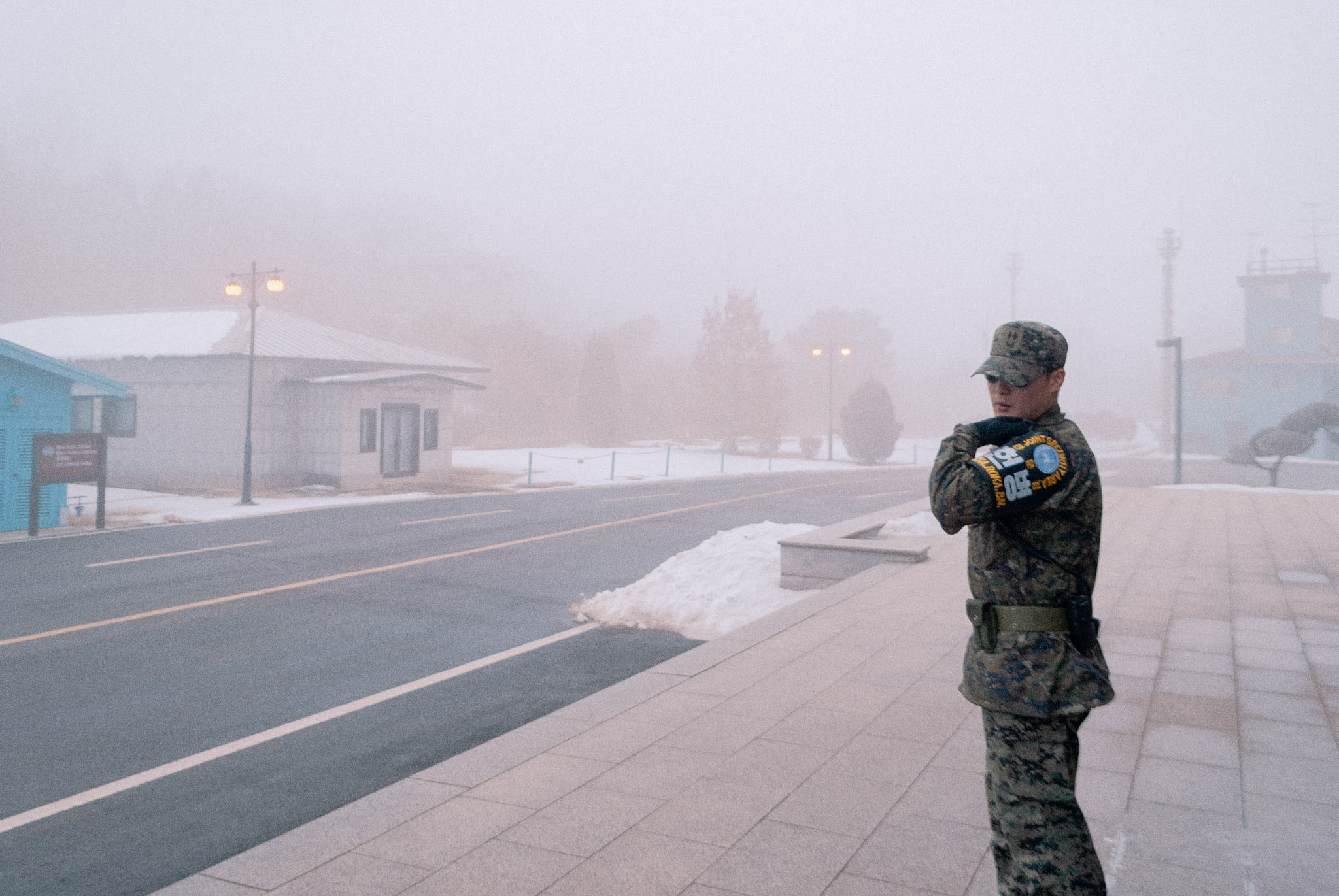
In 2011, I visited the Demilitarized Zone separating North and South Korea. Established following the armistice of 1953, the border remains a physical expression of an unresolved conflict. A narrow strip of land divides a peninsula whose shared history extends far beyond the political boundary that now separates it.
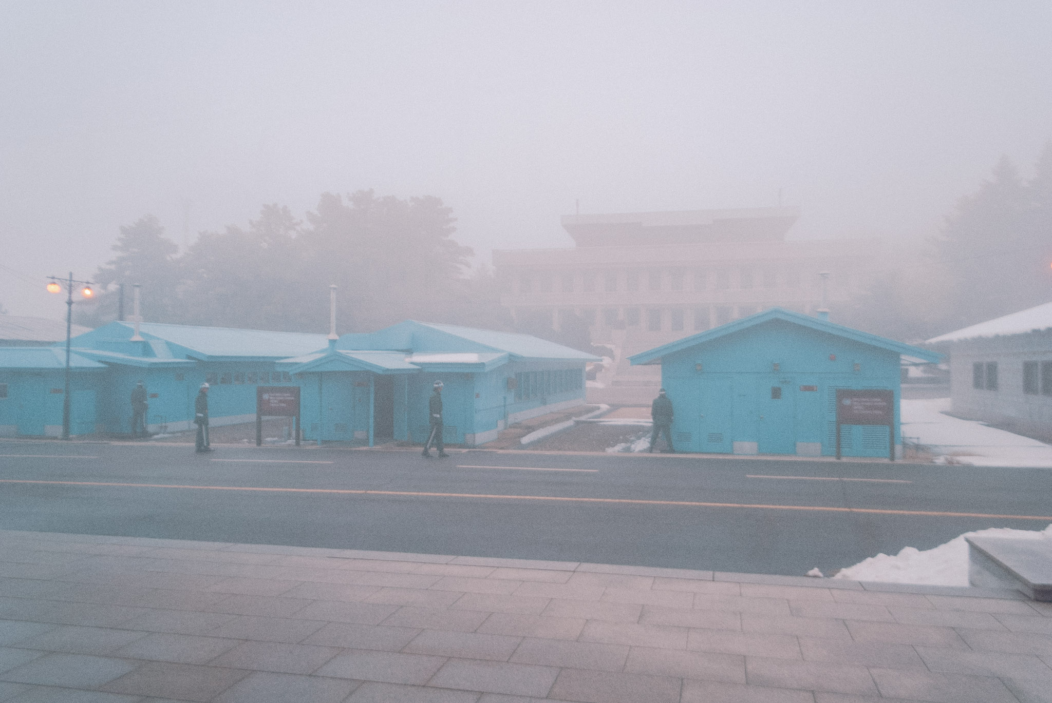
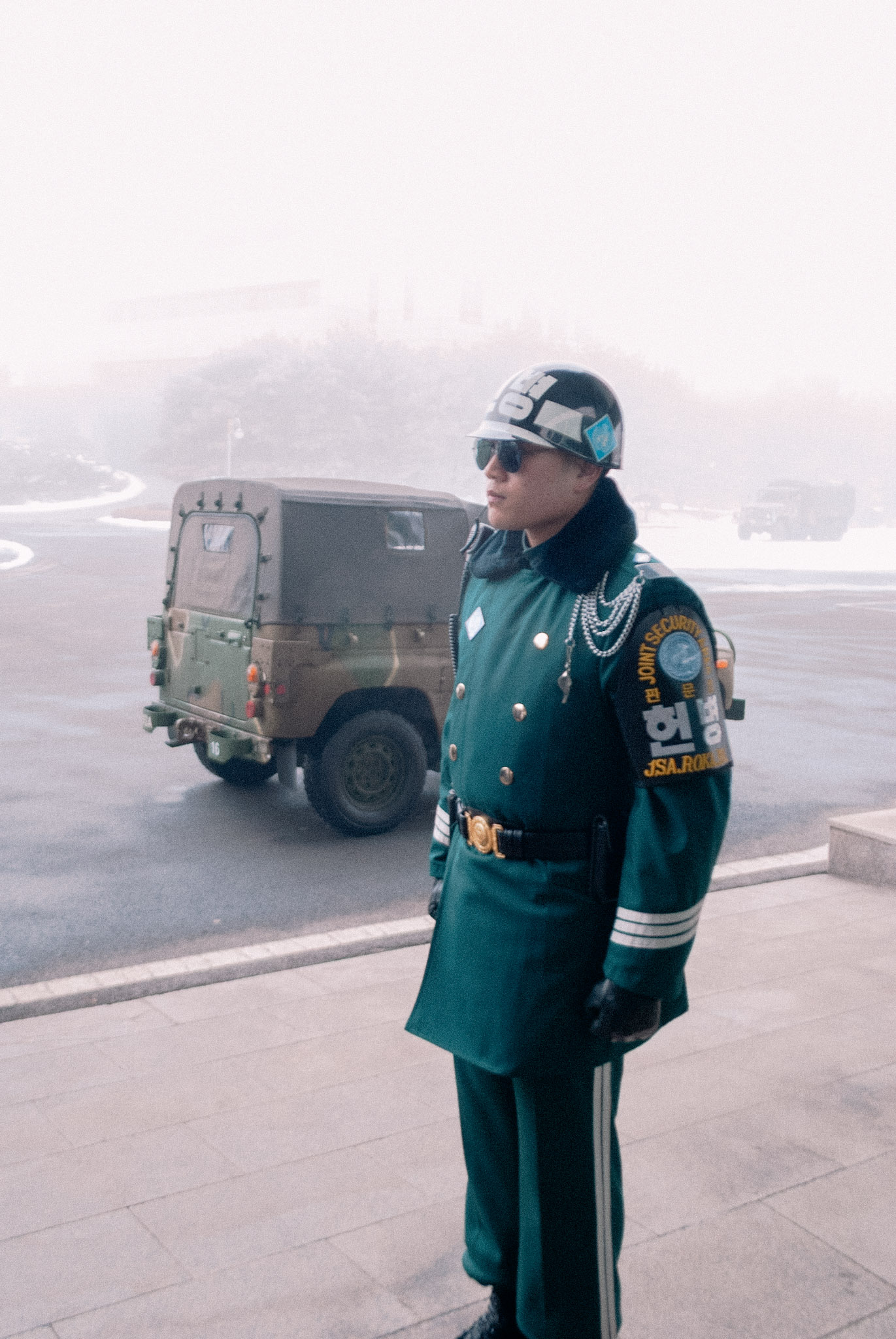
From the southern side, North Korea is both remarkably close and largely inaccessible. Visitors encounter the border through checkpoints, observation points, military infrastructure and restrictions on movement. Looking across becomes an organised activity, shaped by the authorities who determine where visitors can go and what they are permitted to see.
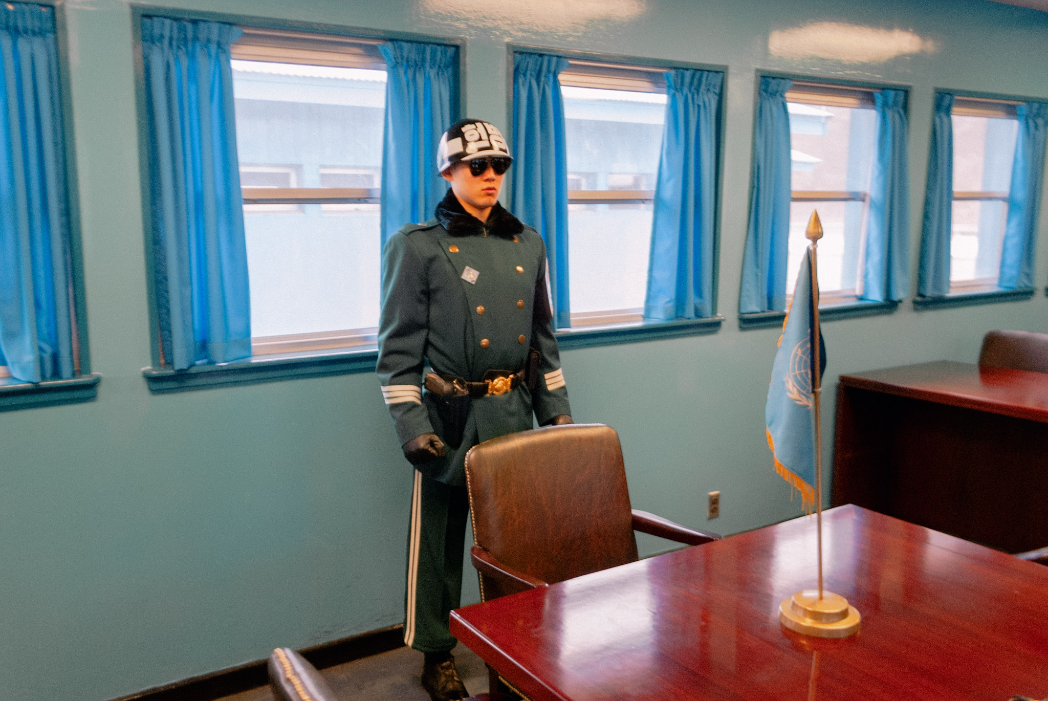
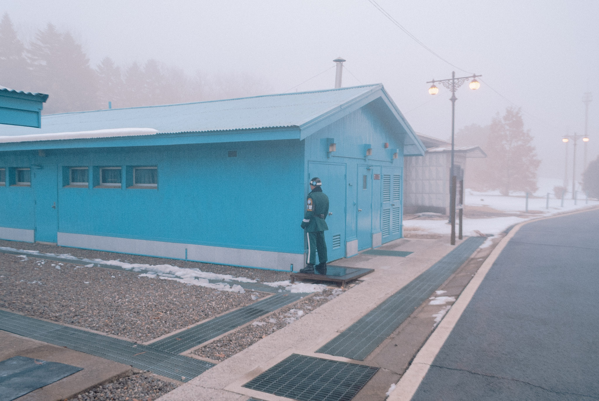
These photographs record a brief encounter with this divided landscape. They consider the peculiar relationship between proximity and separation, and the way political boundaries turn ordinary geography into something charged with symbolic meaning. The camera occupies a position between observation and exclusion, recording what can be seen while remaining conscious of what lies beyond its reach.
Interactive map